The Blue River below Green Mountain Reservoir
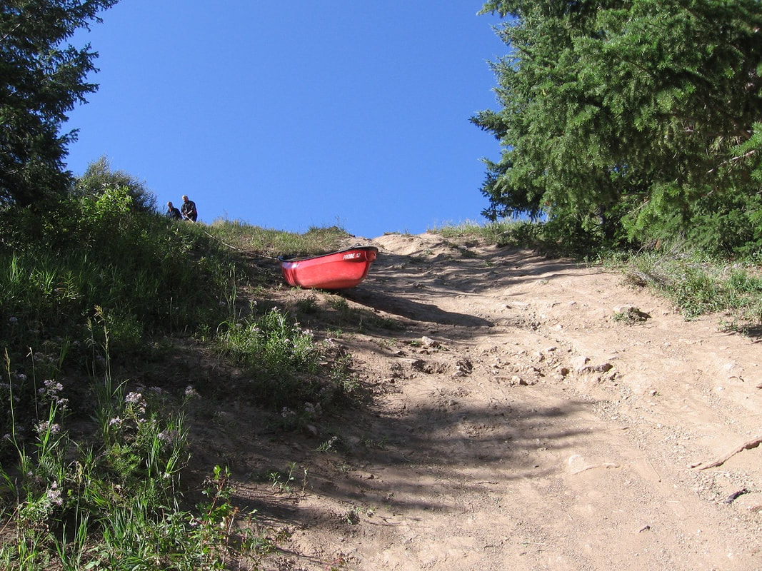
You need at least a 100 foot rope to lower the boats to the river at the put-in.
Overview: The Blue River below the dam is an exciting run. First you have to lower your boats down to the river. It's class II at the start, but when you get to the towering wall, the Blue will get your attention. After the wall are two weir dams and then some more class II. You exit river left just before the bridge.
Date and Time: Meet at 9:30 am, September 16, 2023
Rating: II/III
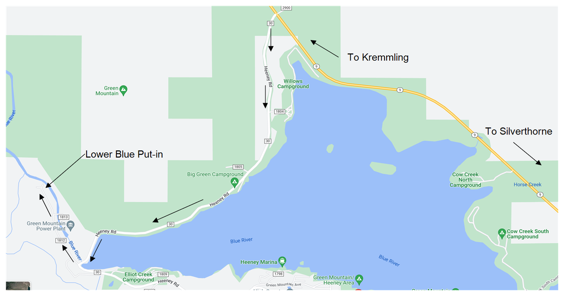
Location: Map There are maps of the put-in and take-out at the bottom of this webpage. Meet at the bottom of the Green Mountain Reservoir dam. Just follow the road to the parking lot at the end.
River Flow Downstream of the Dam
Access: Free, Much of the land is private, but the put-in and take-out are public.
Videos: There is a good video of this float at the link below. The Wall rapid starts about 13 minutes into the video.
https://www.youtube.com/watch?v=v34FVCYSsYo
Description: (written by Richard Ferguson and Steve Cassells)
This section of the Blue is approximately four river miles, and is rated class III. It is a nice run through a beautiful wild canyon. Green Mountain Reservoir is between Dillon and Kremmling, Colorado, off Colorado Highway 9. Most likely, the only other boaters you will see will be small rafts used for fly fishing.
It is pretty rocky at 500 cfs, but that level is not pushy and rather pleasant, if you don't worry about scratching your boat. You just try to dodge the rocks. The minimum flow to run it is around 400 cfs. 600-800 cfs is optimal, anything over 1000 cfs is pushy. As you would expect, it gets more difficult at higher flows. Note that the flow can change at any time. Generally the flow is high if it is spring and Green Mountain Reservoir is full. The flow goes up again in the fall when they draw down Green Mountain Reservoir. So it is a good place to boat when other rivers have gotten too low.
The flow in the Blue downstream of Green Mountain Reservoir can be seen at:
Blue River Flow Downstream of the Dam
The put-in is below the dam at Green Mountain Reservoir, near the small town of Heeney. If you are coming from the north on Colorado Highway 9, you will see the sign for Green Mountain Reservoir and Heeney at the top of the hill, before you see the reservoir. If you are coming from the south, you will go past the reservoir, and then turn left at the sign. You will go about two miles to the dam; cross the dam and take an immediate right, through the gate, down the steep hill. The gate is normally open during daylight hours.
At the bottom of the hill you will find a parking area, and a steep dirt slope that people lower boats down. You will need a 100 foot rope to lower a boat to the bottom. It is best to have at least two people at the top to hold the rope; a canoe can pull pretty hard, and could pull you down the slope, especially if you are standing on sloping ground. Rafts are also lowered down this slope, with the rope attached to the boat trailer to provide a secure anchor. You will need someone at the bottom to untie the boat and move it out of the way. There is a walking trail to the river and it is pretty steep and could be treacherous when wet.
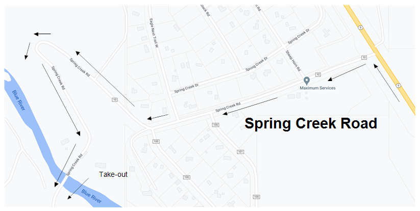
The take out is on Spring Creek Road, two miles north on Highway 9. Go back to Highway 9, drive two miles, look for Spring Creek Road, and turn left. At the river, there is parking for "kayak take out only", which we interpret to include canoes. The shuttle is very short, around five miles each way.
The float starts out with the usual class II rocks to dodge. The first item one may want to scout is probably 30 minutes into the run. You can eddy out and scout it on river right. There is a pool at the top right, as the river curves left. There is a small wall on the left, and in the middle of the river is a pour-over. At the wall the river turns right again. It is probably best to stay as far right as the river level and rocks will permit.
Beaches: There are a couple of beaches on the left hand side, one of which has a play spot. Note that the land on both sides of the river is private.
The Wall is shortly after the beaches. There is a long straight stretch with few eddies above it, and you can see the big wall right where the river disappears around the right corner. Going through the big waves at The Wall, stay middle of river or a little right. Left is really tough and demands a lot of maneuvering. The rapid is pretty long, and the wave trains may fill your boat with water; If the boat is full, it is best to empty your boat above the dam, but perhaps wait until getting to the pool above the dam.
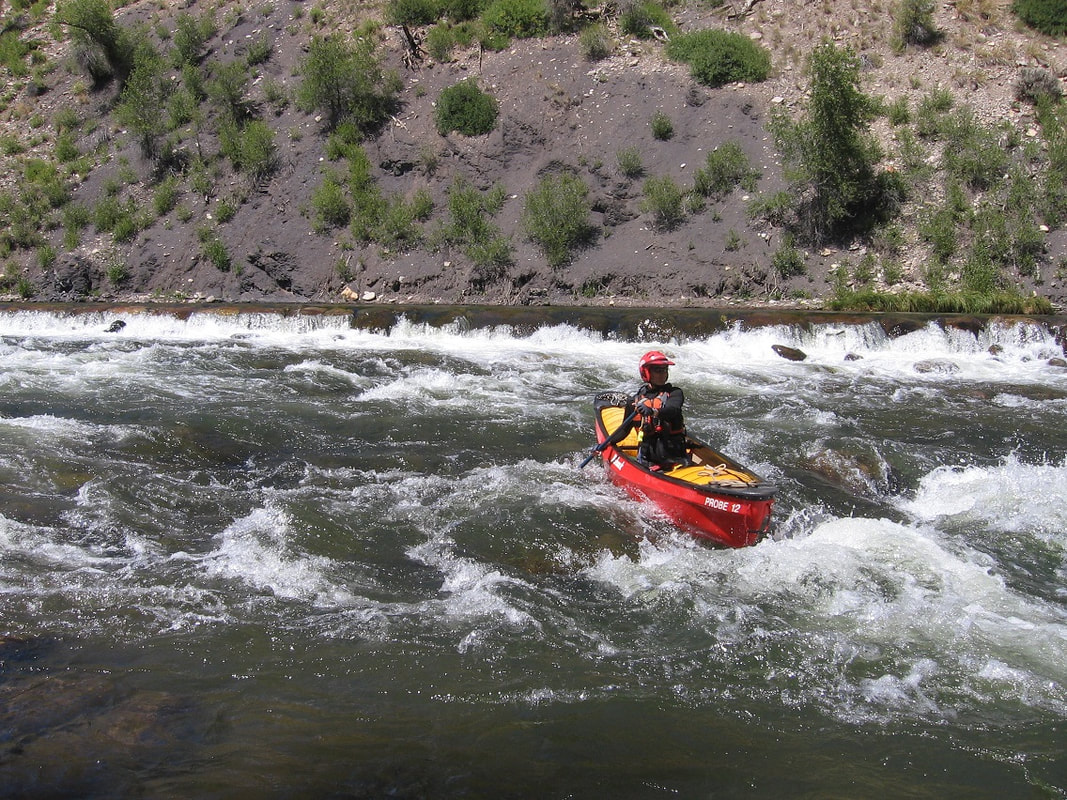
There is a brief break, 100 yards or so, between the Wall and the first dam. Both dams have a horseshoe shape, with the open side of the horseshoe pointing downstream. There is a pool above the dams which can be used to scout from your boat, go to one side or the other, and pick the best spot, or decide to portage. Scouting from the boat is likely to be more difficult with higher flows, as the flow will tend to pull you over the dam.
The first dam is just below the Wall, with a little area to slow down above it. Run center or a corner or portage on river right.
The next dam is just below the first one. Run center or a corner or portage.
The take out is on the left and just before the only bridge you'll come to, about a mile below the last dam. You'll see a bridge (the same one you drove over when running shuttle) - start looking to the river left shore for a fence or a sign that tells you it's the take out. You will need to carry your boat up a steep slope and then over a gate to get to your car.
Because this run is so short, it is often done twice in one day.
The water comes out of the bottom of Green Mountain reservoir, so it is very cold. It is advisable to dress accordingly.
For specific questions, contact the host below.
Host: Steve Romyn, 951 764-1465, [email protected]
Some more photos:
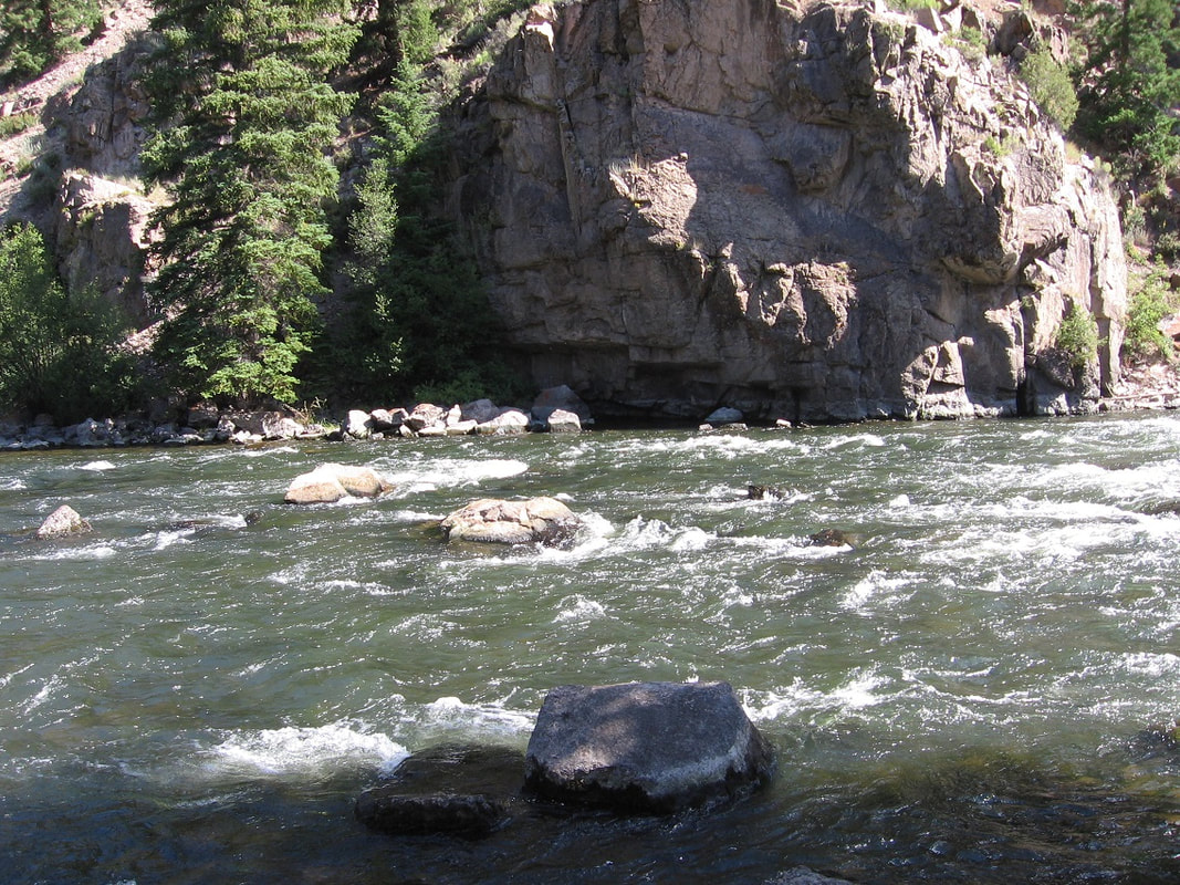
The photo above is the put-in for the Blue River beneath Green Mountain Reservoir.
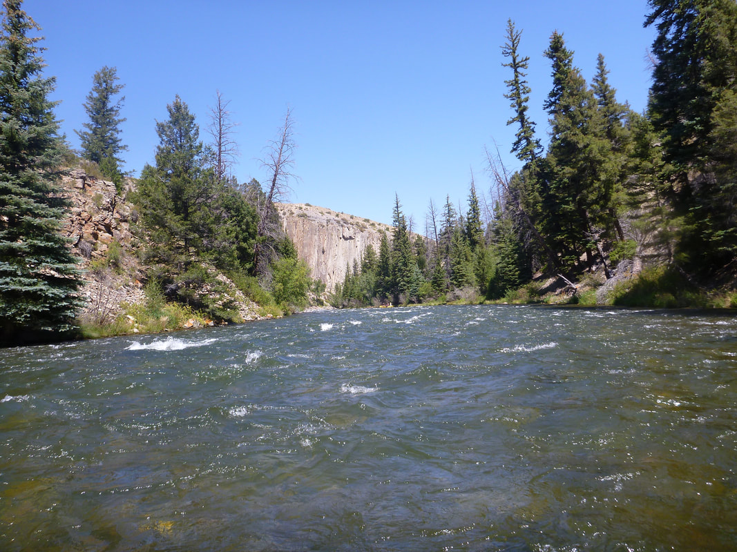
The photo above is "The Wall." At "The Wall" things get exciting.
Debbie paddling one of the weir dams on the Blue River.
The put-in is at the end of the road below the Green Mountain Reservoir dam. Take Heeney north of the reservoir.
Go back to highway 9 on Heeney road and go north for 2 miles to Spring Creek Road

