
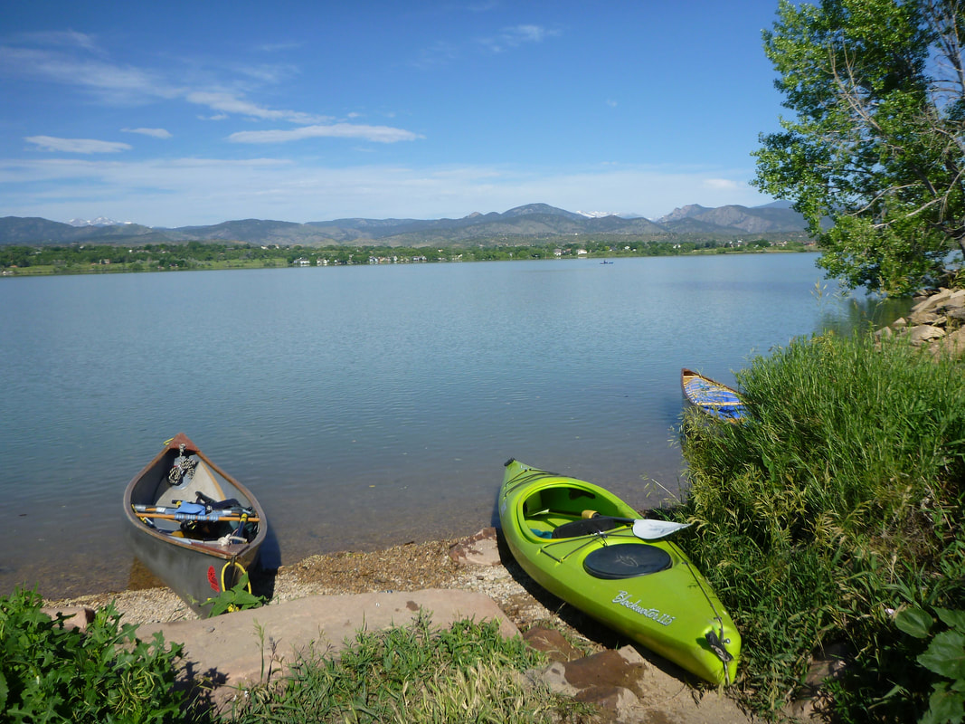
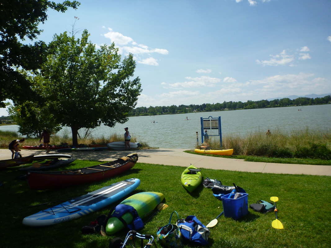
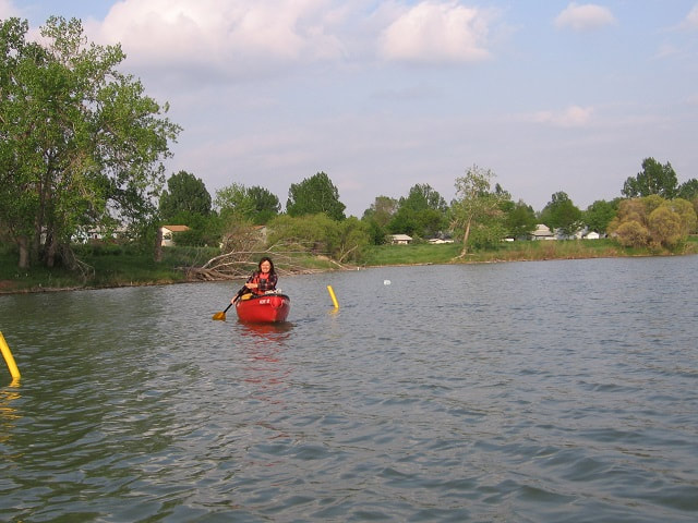
Regional Lakes
|
|
|
|
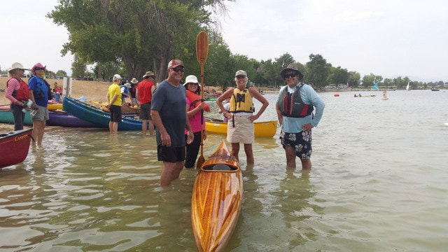
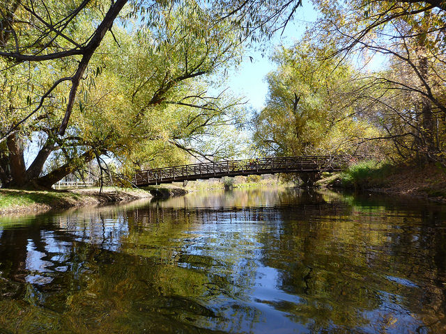
Riverbend Ponds
Southeast corner of Timberline and Mulberry in Fort Collins State: Colorado Class: I Description Map |
|
Regional Rivers
Colorado
|
|
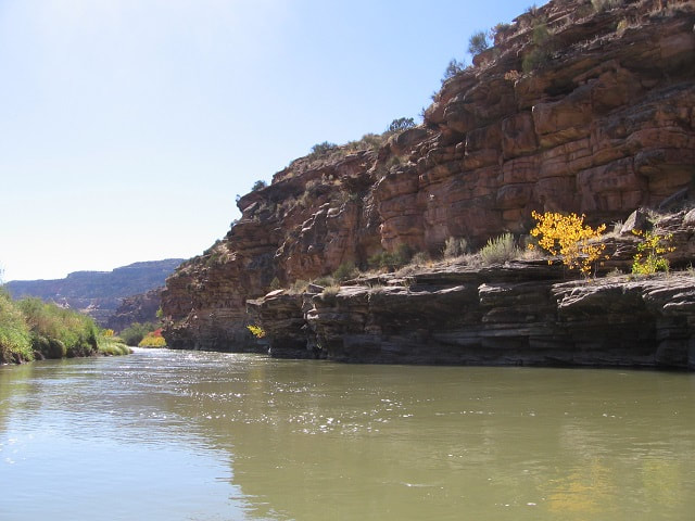
Colorado River, Pumphouse Run
From Pumphouse to Yarmony Bridge State: Colorado Class: II/II+ Description Map |
|
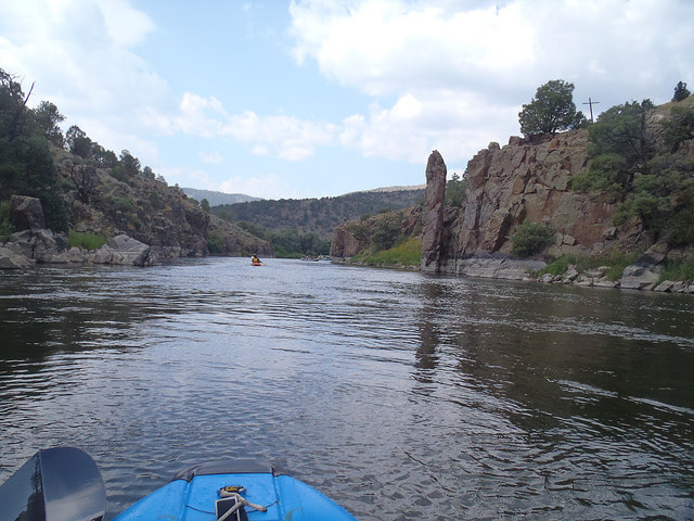
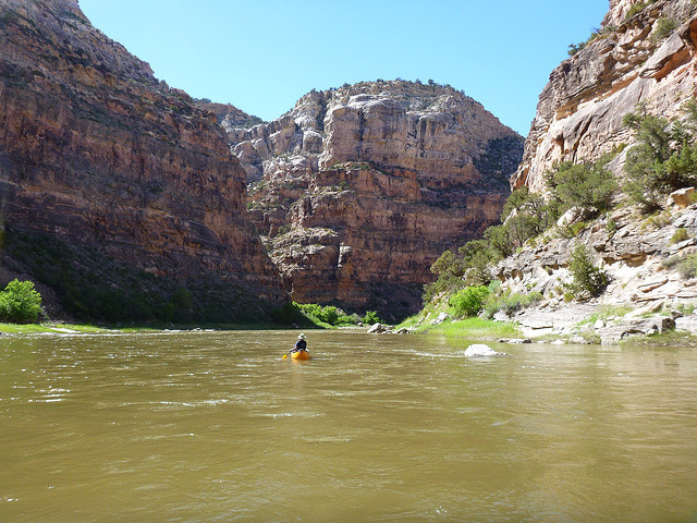
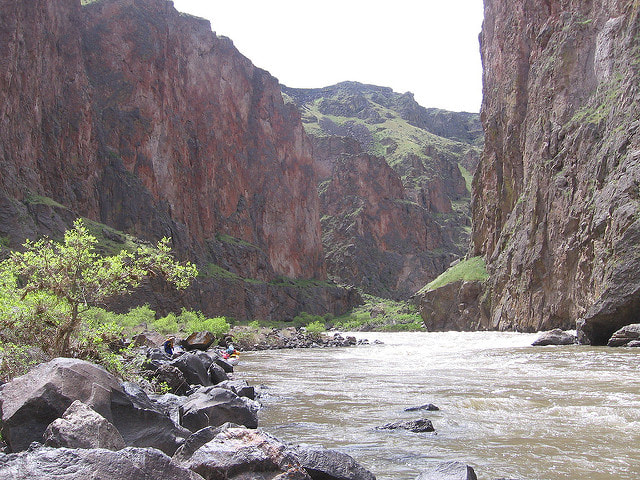
Colorado River, Ruby-Horsethief
From Robb State Park to the Westwater Ranger Station State: Colorado Class: I, II at high water Description Map |
|
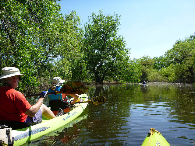
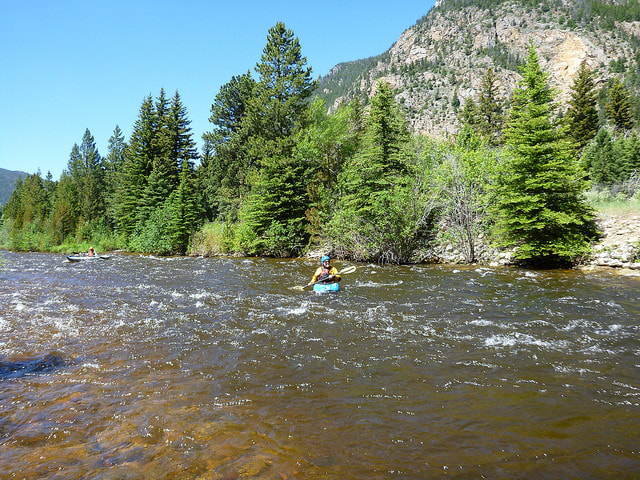
North Fork of the Poudre
From Red Feather Lakes Road to Gateway Natural Area State: Colorado Class II/III Description Map |
|
Poudre River, Town Run
From the Shields Street Bridge to the Prospect Street Bridge State: Colorado Class: II Description Map |
|
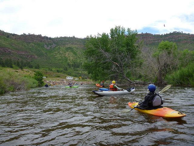
Poudre River, Filter Plant
From Gateway Park to Picnic Rock State: Colorado Class: II/III Description Map |
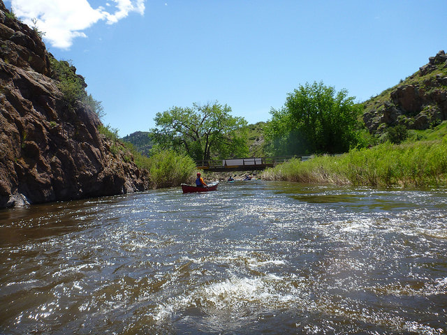
Poudre River, Bridges Colorado :: Class: III :: Detail Description
|
|
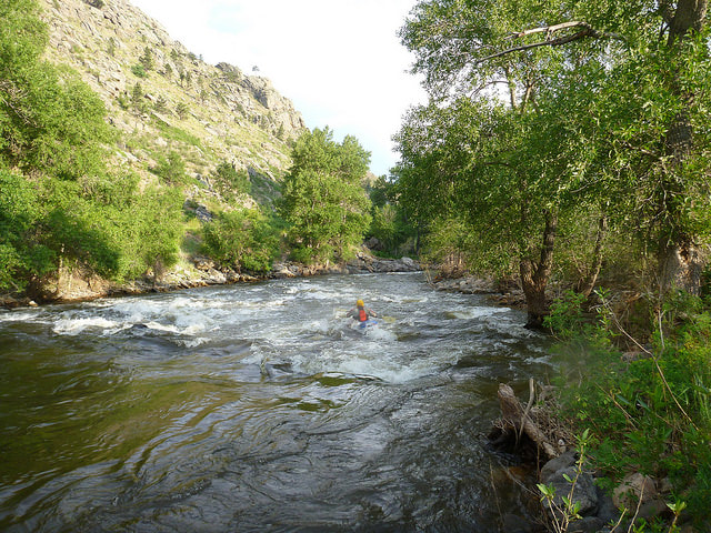
Poudre River, Upper Mishawaka
Upper Mishawaka can be combined with Lower Mish, Poudre Park and Bridges to make a single run of 12+ miles.
Description
Map
Upper Mishawaka can be combined with Lower Mish, Poudre Park and Bridges to make a single run of 12+ miles.
Description
Map
|
Poudre River, Sleeping Elephant
From the Sleeping Elephant Campground to the Big Bend Campground State: Colorado Class: II/III Description Map |
|
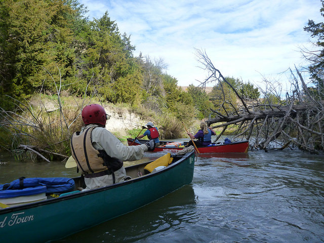
Saint Vrain River, Apple Valley Run
From the Apple Valley Bridge to the Black Bear Hole State: Colorado Class II+ Description Map |
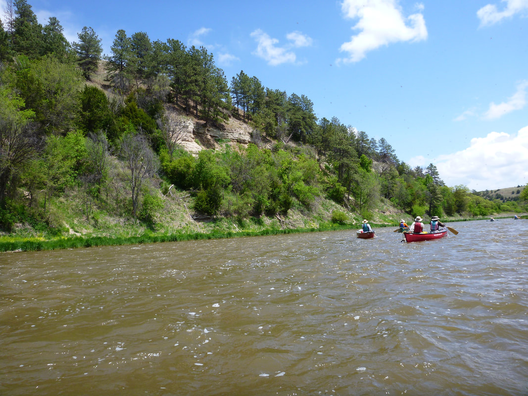
South Platte River
From Evans Ballfields to Kersey or Kuner
State: Colorado
Class: I+
From Evans Ballfields to Kersey or Kuner
State: Colorado
Class: I+
|
Yampa River, Dinosaur Float
From Deer Lodge to Split Mountain campgrounds State: Colorado Class: II/III Description Map |
Iowa
The link below has water trail maps and brochures for paddling Iowa.
https://www.iowadnr.gov/Things-to-Do/Canoeing-Kayaking/Water-Trail-Maps-Brochures
https://www.iowadnr.gov/Things-to-Do/Canoeing-Kayaking/Water-Trail-Maps-Brochures
Nebraska
To my knowledge, there are no boat inspections in Nebraska, but that may not be true of every lake and river in the state.
|
Wyoming
The state of Wyoming requires permits (invasive species decals) on all boats, including canoes and kayaks (inflatables 10' or less exempt), $15 for non-residents.Decals can be purchased online or wherever Wyoming fishing licenses are sold.
|
|
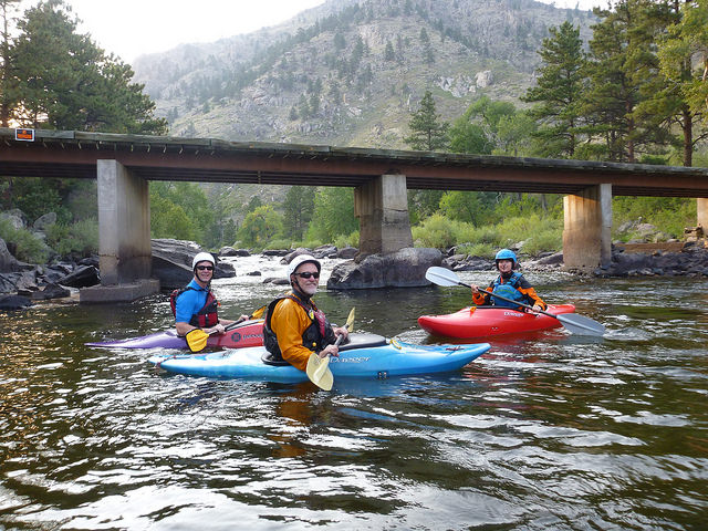
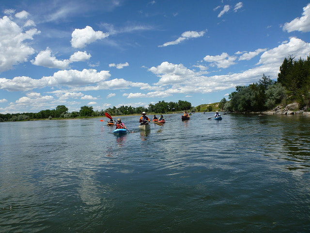
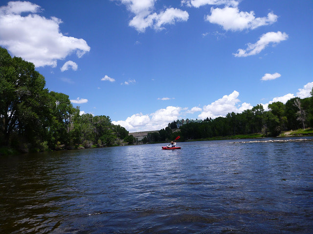
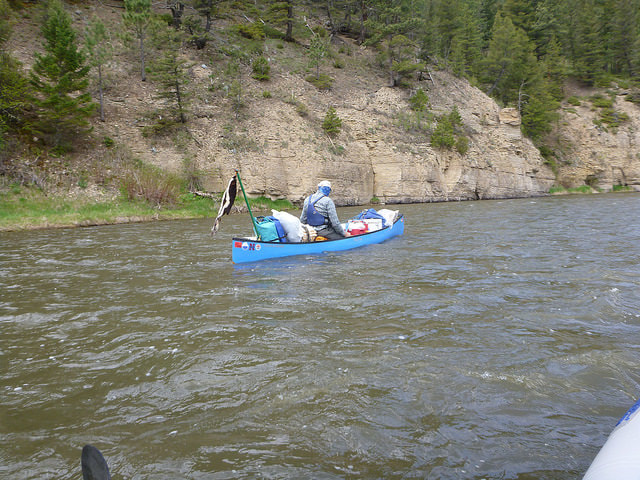
North Platte River, near Saratoga
From Treasure Island to Pick Bridge State: Wyoming Class: 1+ Description Map |
|
North Platte River, Six Mile Gap Float
From Six Mile Gap Campground to Treasure Island State: Wyoming Class: II/III Description Map |
|
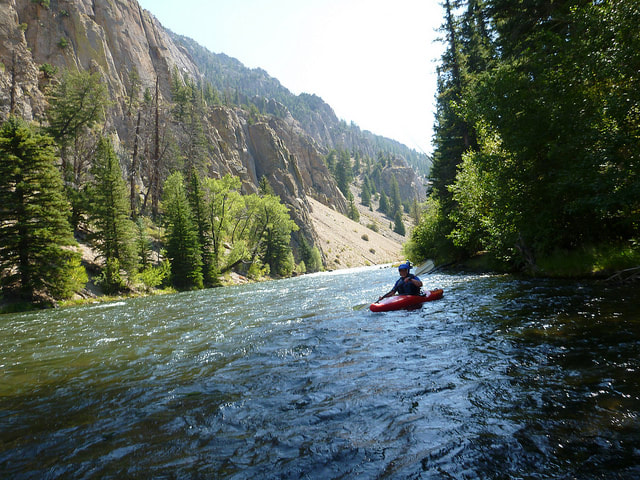
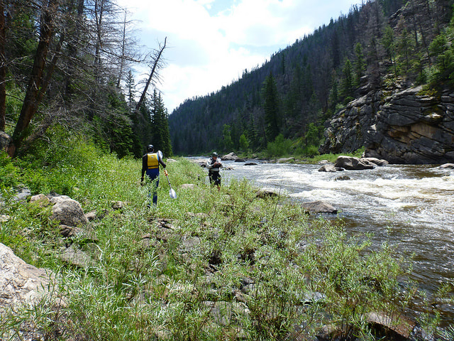
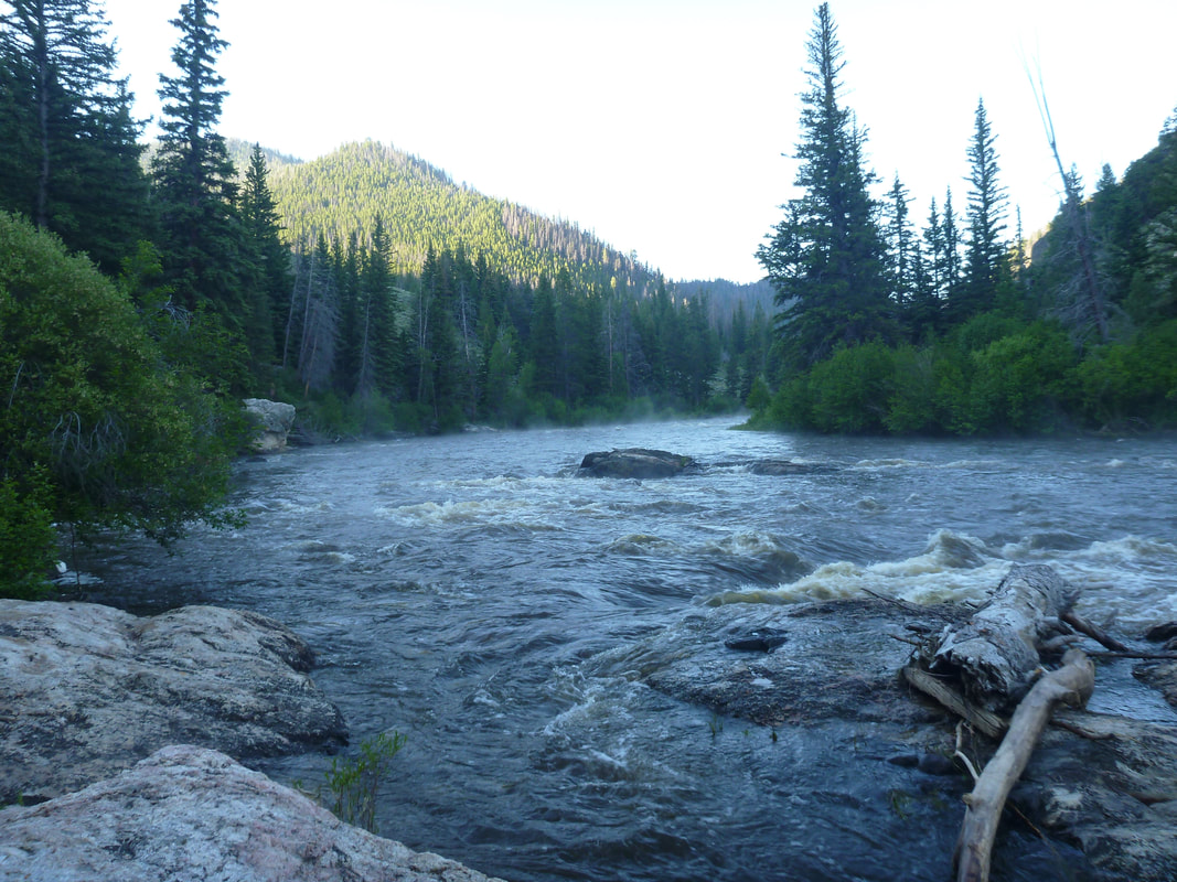
North Platte River, Northgate Canyon
From Routt Access to Six Mile Gap State: Wyoming Class: III Description Map |
|
Nebraska
|
Dismal River
We float south of Mullen to south of Seneca, Nebraska State: Nebraska Class: II Description Map |
Oregon
|
Montana
|
Utah
|