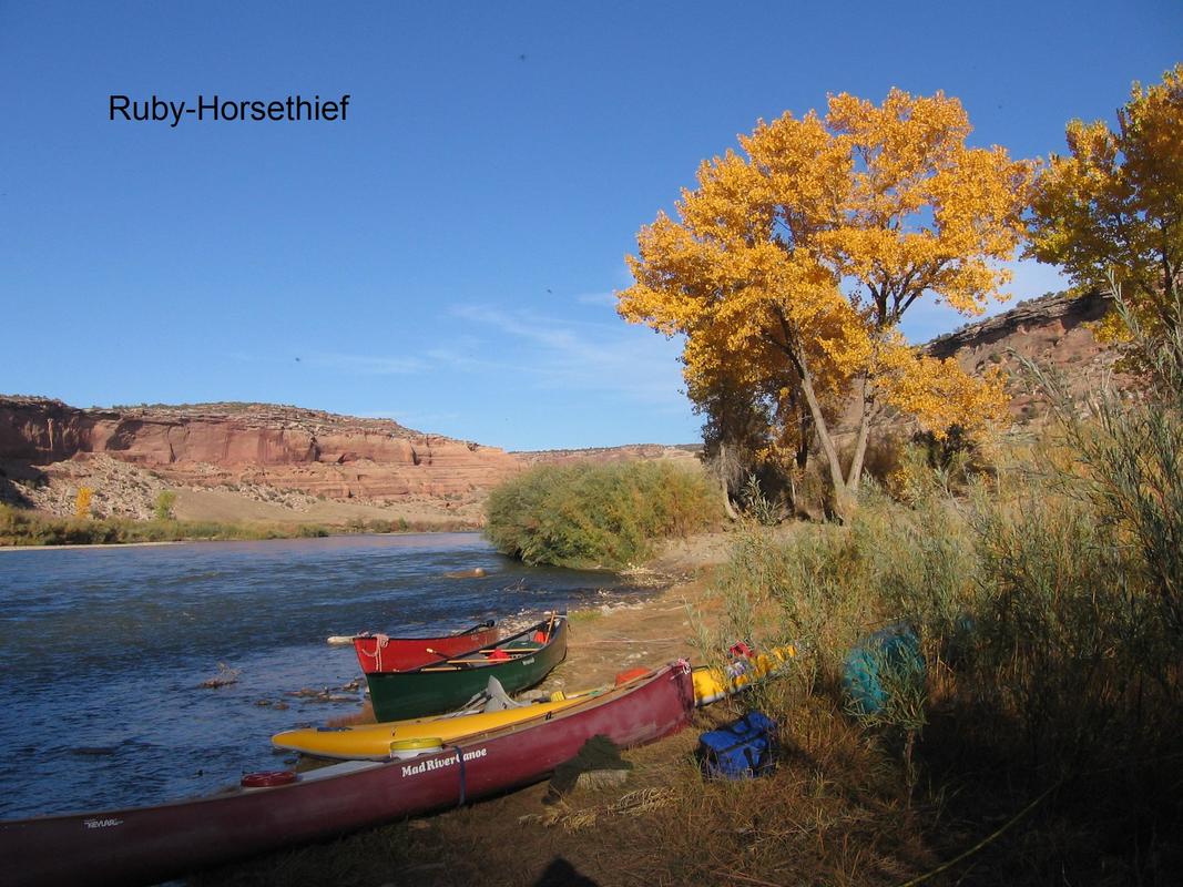
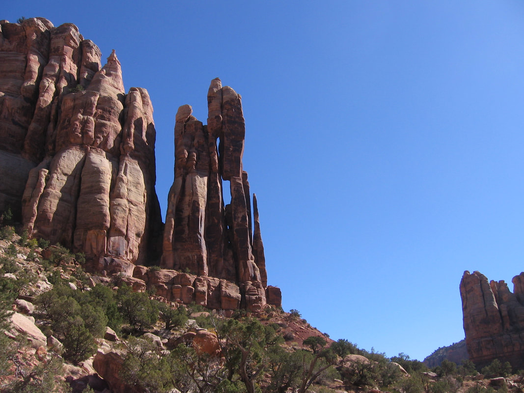
Ruby and Horsethief Canyons on the Colorado River
Date: We usually drive on Thursday, put-in on Friday morning, and take-out on Sunday.
Rating: Class I. Above 20,000 cfs it is class II. You should have had experience on moving water.
Description from Eddy Flower:
Ruby Horsethief Canyon is 25 miles through a spectacular river canyon, a desert environment, and very mild waters. Actually, Horsethief Canyon is the first Canyon and Ruby the second, but Ruby-Horsethief rolls off the tongue better. All boaters are required to abide by Bureau of Land Management river regulations (including the use of a groover, fire pan, etc).
Black Rocks is the only significant rapid on this stretch. It is a fairly straightforward rapid, and it can be safely sneaked by inexperienced boaters. Black Rocks at 20K and above is very squirrly and swirly, so beginners be heads up at high flows. River runners seem to die every year or so here...but it's most often from swimming without a PFD or diving into the muddy waters that hides the black rocks. Darwinism.
The river narrows considerably as it passes through a rocky stretch just below Black Rock Rapid. This creates an unusual and often tricky series of
whirlpools and eddies especially at high water.
The best campsites are at the middle to bottom of Black Rocks Rapid. Below, campsites are a bit scarce and sometimes require scrambling up
muddy banks and through stands of tamarisk and Russian olive trees to find a flat place to pitch a tent.
There is also camping above Salt Creek, at Bull Canyon fault, Mee Canyon, Knowles Canyon, and at the Colorado/Utah stateline-all river left. Great side hikes such can be found at Rattlesnake Canyon, Mee Canyon, Moore Canyon (at Black Rocks), McDonald Creek Canyon, and Knowles Canyon.
The Denver and Rio Grande Railroad parallels the river from Salt Wash till Westwater on river right, so bring ear plugs if you are a light sleeper.
Please protect this section of water, and clean up after yourself.
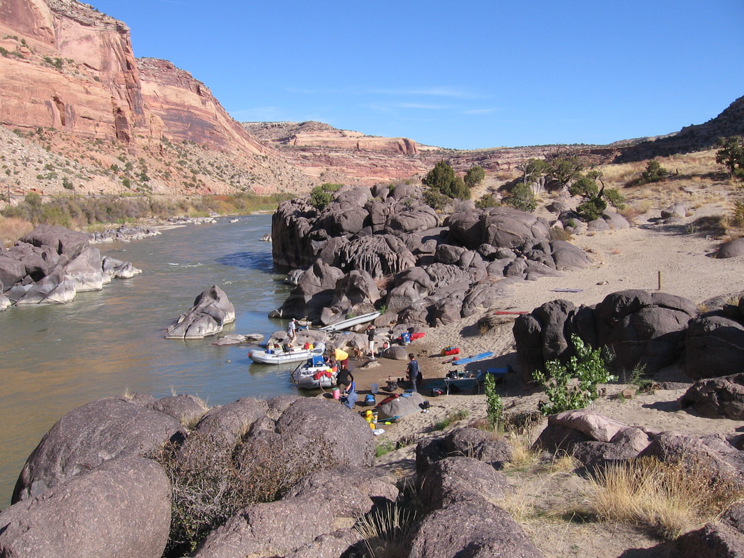
Black Rock Campground
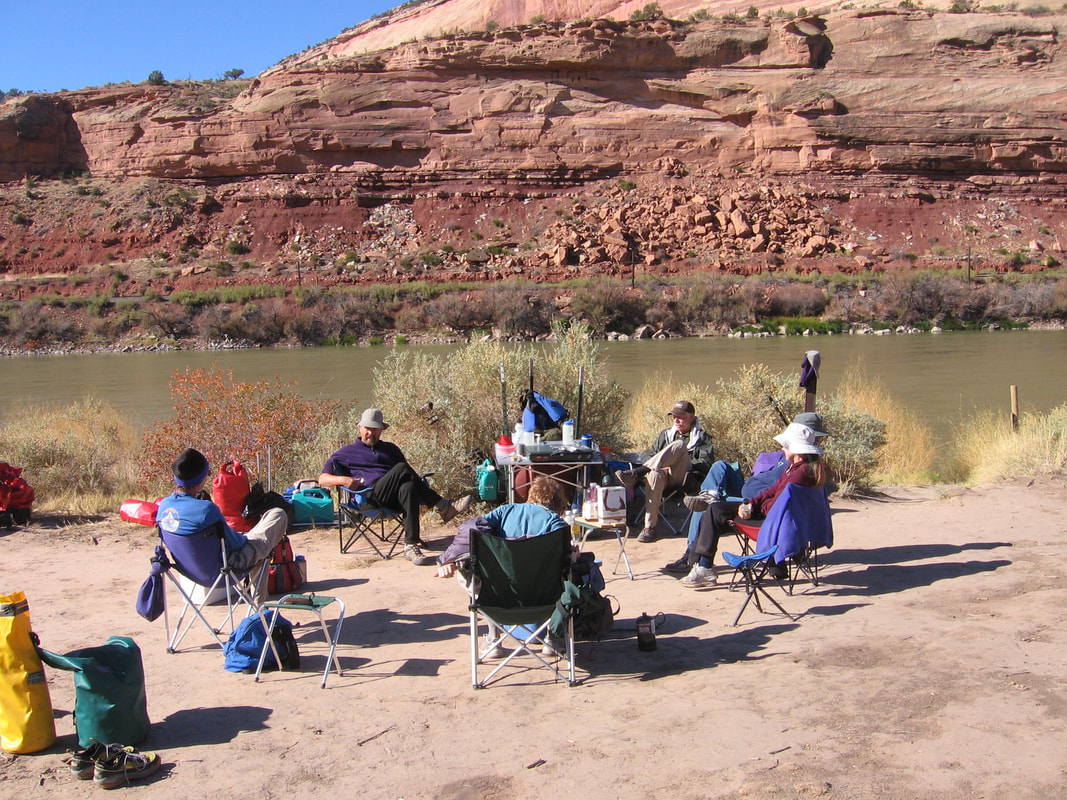
Camps and stops along the river:
- Cottonwood
- Mee Canyon, mile 13.7, upper campground, ( a mile upstream from Mee Canyon) 2 night stay, hikes,supposedly the best camp on the river.
- Black Rocks Campground, rapids above Black Rocks
- Knowles Canyon
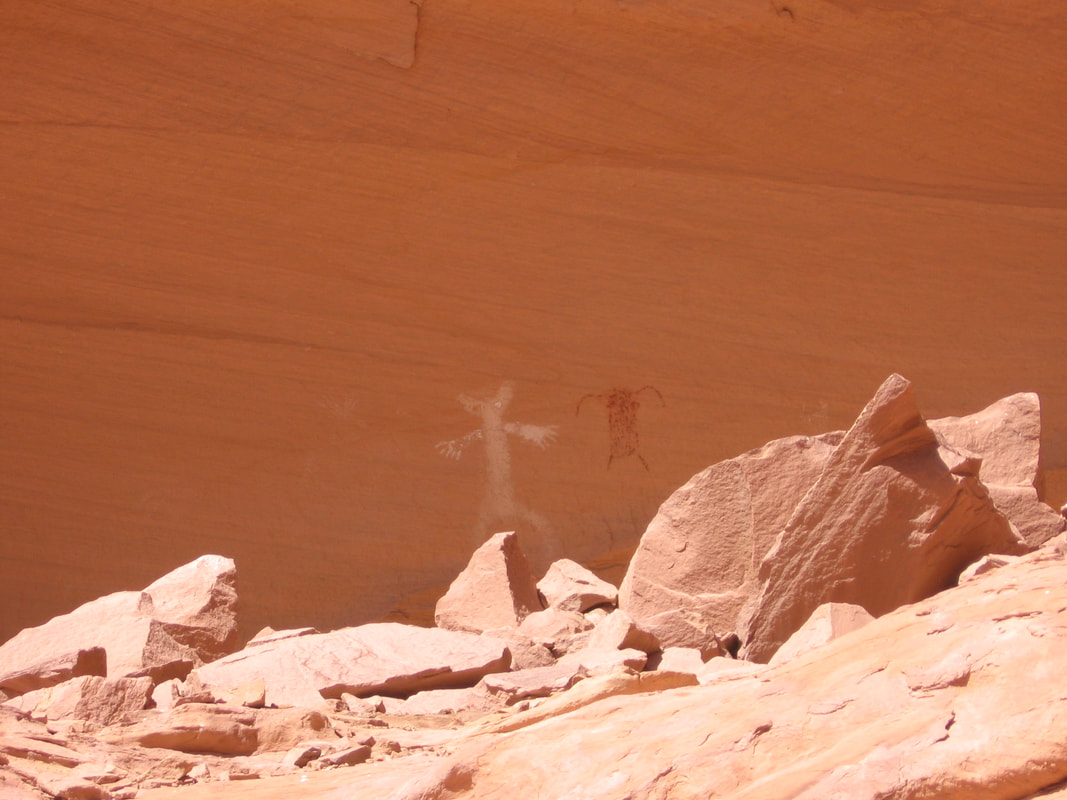
- McDonald Canyon, hike to pictographs
Pictographs in McDonald's Canyon
Travel:
Most people drive to Fruita the day before and either camp or stay at a local motel. The put-in is the boat ramp at Robb Start Park. That is where we will unload the boats and start the shuttle. To get to Fruita, take I-70 to western Colorado and go south on Exit 19, Highway 340. Robb State Park is about 1/4 mile south of I-70.
There are three motels together on the south side of I-70 at exit 19 in Fruita, a Super 8, a Comfort Inn, and a La Quinta. The La Quinta tends to be expensive and the last time I checked the Super 8 was the cheapest. According to Google, there are two or three independent motels/hotels on the north side of I-70 but I'm not familiar with any of them.
Contact information:
- Super-8: Jurassic Ave Fruita, CO 81521 US, Phone: (970) 858-0808
- Comfort Inn: 400 Jurassic Ave , Fruita, CO, US, 81521-9535 Phone: (970) 858-1333
- Robb State Park info: Make sure you are at the part of the park located at exit 19 off I=70.
Put-in: The boat ramp at Robb State Park
Take-out: Westwater Ranger Station in Utah
Link to Robb State Park.
The float is about 24 river miles. The shuttle takes about 1 hour and 30 minutes. Drive west on I-70 to the Westwater exit (exit 225) near the Colorado/Utah border. Turn south and follow signs for approximately 9 miles to the Ranger Station.
Contact: Whoever is hosting this float.
Link to Permit Information for Ruby Horsethief.

