Lower Owyhee River
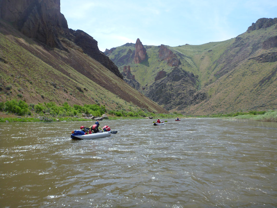
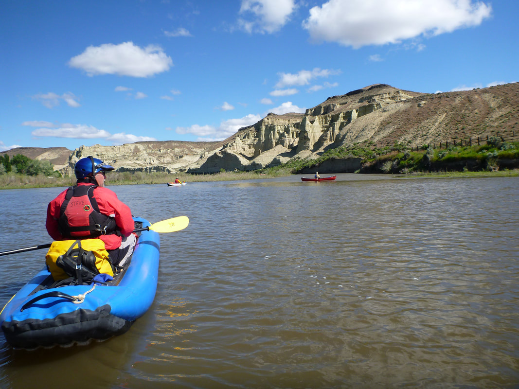
The Owyhee river is located in southeast Oregon. We plan to float the lower Owyhee, starting at Rome and ending at Birch Creek. The Owyhee is rated II-III+. The word Owyhee is pronounced like Hawaii. It was named after some Hawaiians who were sent to explore the area and never returned.
Currently the plan is to drive May 18 and 19, float May 20 to May 24, and drive back May 25 and 26. This may change if the Owyhee has an early thaw and then we would go a week earlier. We would like to keep the size of the group in the range from 5-12 people who have floated long trips on similar rivers.
Hosts:
Randy Knauff, [email protected]
Richard Ferguson, [email protected]
Roger Faaborg, [email protected]
Invasive Species Sticker - You need to purchase an Oregon Aquatic Invasive Species Prevention Permit. It costs $7.00. Go to this link: myodfw.com/articles/buying-aquatic-invasive-species-prevention-permit
Travel Day 1: Drive from Fort Collins to near Ogden, UT. Camp at Willard Bay State Park or stay in a motel near Ogden. It is about 600 miles and takes 6-8 hours. You take 287 to I-80 and drive across Wyoming. Then you get on I-84. On previous trips we have stayed at a motel the first night. I think we stayed at the Super 8 in Burley, Idaho.
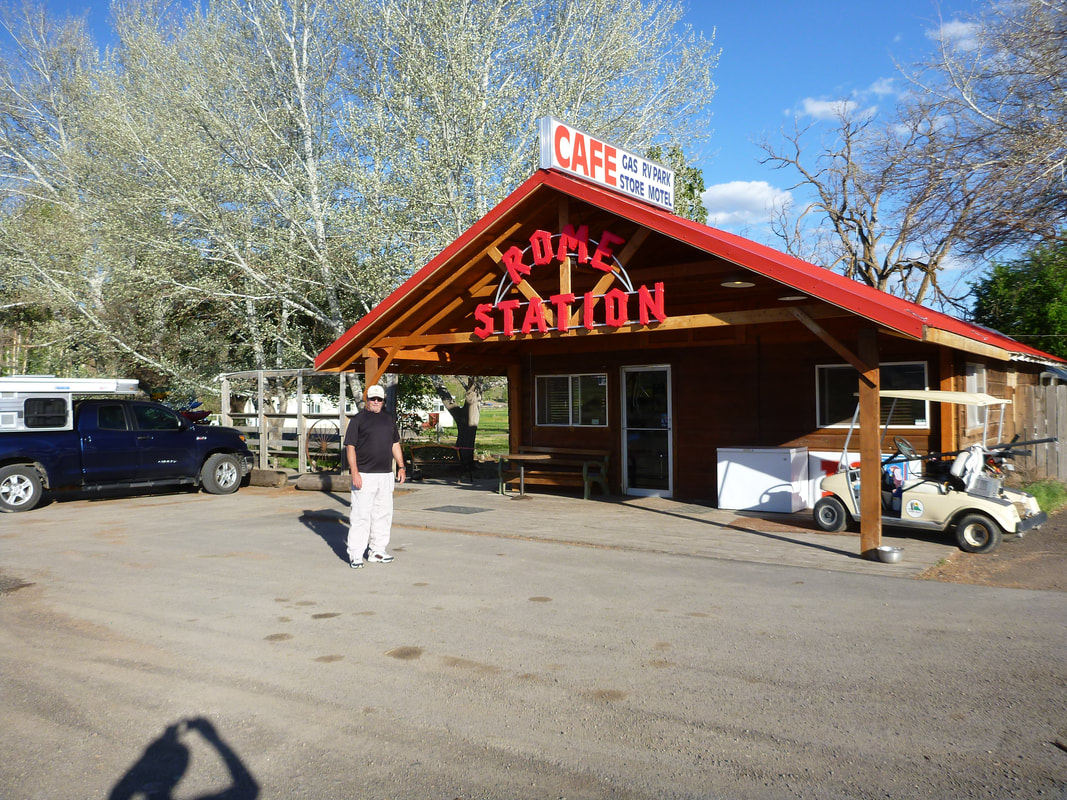
Travel Day 2: Take I-84 to Boise, ID and then 55 and 95 to Rome, OR, a 350 mile drive. Camp across the river from Rome Station, which is a gas station and restaurant. You can eat dinner there and get a good breakfast before you launch. It also handles the shuttle. You fill out a permit at the campground and leave one copy in the box and take the other copy with you on the river. We used Owyhee Adventure Shuttle Service the last trip and they worked out well. Jack Tinges is the owner and his number is 541-586-2548. If you have time, Sacagawea's child, Jean Baptiste Charbonneau, is buried near Danner just off of Highway 95 before you get to Rome. He was in a group going from the California gold fields to new gold strikes in Montana and he caught pneumonia, dying after crossing the Owyhee river. He at 61 years old.
Day 1 (Miles 0 - 14)
Day 2 (Miles 14 - 24 )
Day 3 (Miles 24 - 33 )
Day 4 (Miles 33 - 43 )
Day 5 (Miles 43 - 48.5 )
- The first 5 miles are through farm land
- Gauging Station, mile 3
- Owyhee Crossing Bridge, built in 1906
- Crooked Creek enters on river left, mile 6
- Enter Sweetwater Canyon, mile 7
- Long Sweetwater Rapid, mile 11
- Upset Rapid, stay left, mile 12
- Bulls Eye Rapid, III at 1000 cfs, also stay left, mile 13
- We camped at Hike-out Campground, about mile 14
Day 2 (Miles 14 - 24 )
- Weeping Wall - Can get drinking water there, mile 17.5
- Read-it-and-weep Rapid, mile 20.8
- Artillery Rapid, around a blind corner,stay left - picket fence of rock on right
- Enter Chalk Basin, dark bands of lava flows. Pruitt's Castle and Lambert Dome
- Rustler's Cabin on river right, has springs and hot springs
- Hot Springs to wash up in on river left
- We camped at Ryegrass Left, about mile 24
Day 3 (Miles 24 - 33 )
- Hike up Pruitt's Castle
- Bogus Falls on river right, if running, mile 27.2
- Dog Leg Rapid, mile 28.7
- Potter's Cave, river right, mile 29.8
- Whistling Bird Rapid, Class III, stay as far left as possible to avoid sieve
- Entering the deepest part of the canyon
- Montgomery Rapid, Class III, enter left, move right
- We camped at Cliff Side, just downstream of Montgomery Rapid, about mile 33
Day 4 (Miles 33 - 43 )
- Hole in the Ground Ranch
- Not sure, maybe we camped at Devil's Tower, mile 43
Day 5 (Miles 43 - 48.5 )
- Stop at Upper Greeley Bar to look at hotsprings, river left
- Hike at Pothole Arch
- Water Wheel
- Birch Creek Take-out, Mile 48.5
Travel Day 8 and 9: Drive back to Fort Collins.
Photos of our 2016 float at 1700 cfs to 1400 cfs are at this page:
www.flickr.com/photos/poudre-paddlers/albums/72157668493588315
We have photos of our 2011 float at 5,000 cfs at the bottom of this page:
www.flickr.com/photos/poudre-paddlers/albums/72157626904745267
www.flickr.com/photos/poudre-paddlers/albums/72157668493588315
We have photos of our 2011 float at 5,000 cfs at the bottom of this page:
www.flickr.com/photos/poudre-paddlers/albums/72157626904745267
Here is the start of a nice 5 part video on the Owyhee. It was 540 cfs at the put-in and 470 cfs at the take-out.
https://www.youtube.com/watch?v=30TRnzMDql8
https://www.youtube.com/watch?v=30TRnzMDql8
There is a nice video of a 215 cfs low water float on the Owyhee. It seems a little too low, but doable. Note how they outfitted their SOAR so it has nothing on the bottom.
https://www.youtube.com/watch?v=hO_joORRReA
https://www.youtube.com/watch?v=hO_joORRReA
Owyhee River flow at the Rome gauge near the put-in
http://waterdata.usgs.gov/or/nwis/uv?site_no=13181000
http://waterdata.usgs.gov/or/nwis/uv?site_no=13181000


