San Juan River Guide
by Lisa Kearsley, 2007
This book was donated by Roger Faaborg.
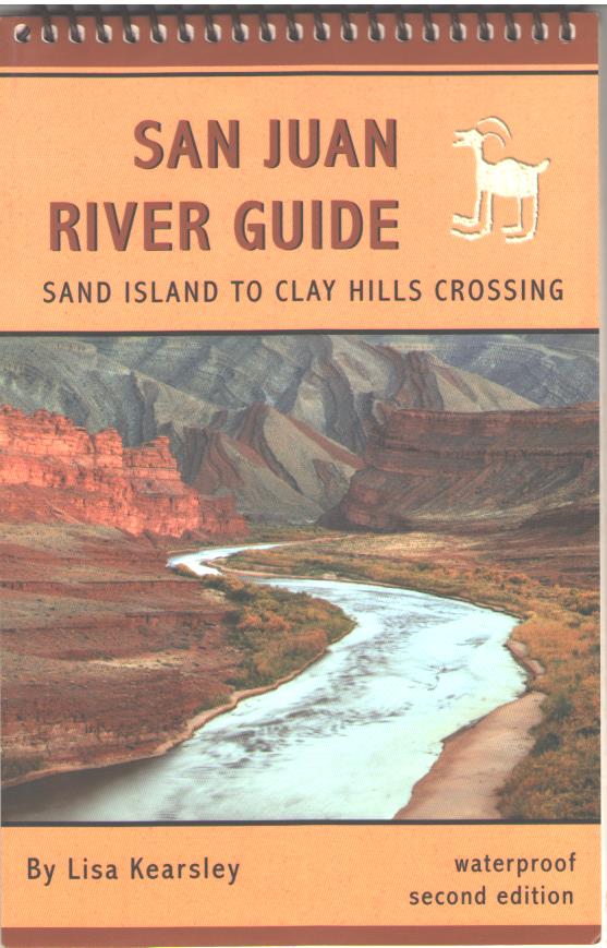
This book covers Sand island to Clay Hills Crossing. You can float a short trip from Sand Island to Mexican Hat, or continue on to Clay Hills. This is a very good river guide for the San Juan. It has a lot of information about the geology and history of the region. The animals you will see are also included. The San Juan is a very muddy river and my copy of this book was a mess, but it is waterproof and I cleaned it at home by running clear water over each page. The pages are plastic, but you can use a ballpoint pen to write notes on the pages. If you float the San Juan, any white cotton T-shirts will become permanently San Juan tan like the cover of this book. Also, if you are near Bluff, UT, the put-in, I recommend you stop at the Twin Rocks Cafe and try out the Navajo Fry Bread. (Comments by Roger Faaborg)
This book was donated by Roger Faaborg.
This book covers Sand island to Clay Hills Crossing. You can float a short trip from Sand Island to Mexican Hat, or continue on to Clay Hills. This is a very good river guide for the San Juan. It has a lot of information about the geology and history of the region. The animals you will see are also included. The San Juan is a very muddy river and my copy of this book was a mess, but it is waterproof and I cleaned it at home by running clear water over each page. The pages are plastic, but you can use a ballpoint pen to write notes on the pages. If you float the San Juan, any white cotton T-shirts will become permanently San Juan tan like the cover of this book. Also, if you are near Bluff, UT, the put-in, I recommend you stop at the Twin Rocks Cafe and try out the Navajo Fry Bread. (Comments by Roger Faaborg)